

Completed Projects:
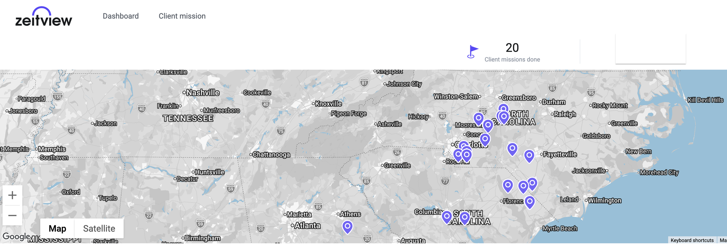
May 2026 - August 2026: Zeitview
20 Missions (photographic roof inspections, 2D orthomosaics & thermal missions)
June 2026 - Aug 2026: AirWeb Digital
Commercial Property Oblique Mapping - Salem, Virginia
3x Commercial Property Oblique Mappings - Virginia
July 2026: FlyGuys
Municipal Property RTK Mapping - City of Wilkesboro - Wilkesboro, North Carolina
Legal Notice – Surveying, Mapping & State Licensing Restrictions
126 DroneWorks LLC is an FAA Part 107 certified commercial drone operator. We are not licensed Professional Land Surveyors, Registered Professional Land Surveyors, Professional Surveyors and Mappers, or the equivalent in any state, including but not limited to North Carolina, South Carolina, Virginia, Georgia, Florida, Alabama, Mississippi, Louisiana, Texas, Oklahoma, Tennessee, Arkansas, and Missouri.
Our aerial data collection, photogrammetry, orthomosaic mapping, 3D modeling, volumetric analysis, thermal imaging, and related geospatial services are provided solely for informational, visualization, construction progress monitoring, inspection, asset documentation, and internal planning purposes. These deliverables do not constitute a professional land survey, legal boundary determination, certified topographic or planimetric survey, plat, sealed map, or any work product that requires licensure under the laws of any state.
The practice of land surveying is regulated by each state. Requirements and restrictions vary significantly. In some jurisdictions (notably North Carolina), the production or offering of measurable orthomosaics, 3D models, georeferenced maps containing location, dimension, elevation, or volume data, and similar products is treated as the practice of land surveying and is restricted to licensed professionals. Other states also prohibit the unlicensed practice of land surveying for certain mapping and measurement activities.
Not all services are available in every state. We reserve the right to decline, limit, or modify any requested service at any time to ensure compliance with applicable federal, state, and local laws and regulations.
If you require certified surveys, legal boundary work, official plats, sealed maps, or data intended for engineering design, title work, permitting, construction staking, or any other regulated purpose, you must engage a licensed Professional Land Surveyor (or equivalent) licensed in the specific state where the work will be performed. We are willing to collaborate with or provide raw data support to licensed surveyors upon request.